Reference design — in early build

Mimirly Flight.
Your DJI drone, on the Commander.

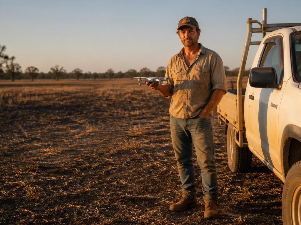
Mimirly Flight is a thin companion app that bridges an operator's own DJI drone to the Mimirly Commander. The drone stays yours. The mission, the survey schedule and the evidence trail come from the same Observe-Decide-Act-Verify loop that runs the rest of the site.

Like the Rover, Mimirly Flight is a reference design — a way to prove the endpoint contract works against real aerial hardware. Full page, BOM and firmware notes coming as the build progresses.

Enterprise quadcopter drone in flight
Aerial endpointCompanion app · BYO drone
Field examples

Farm jobs that are better from the air.

Mimirly Flight turns a standard DJI drone into a repeatable aerial endpoint for the Commander. Here are the first jobs it is being built to run.

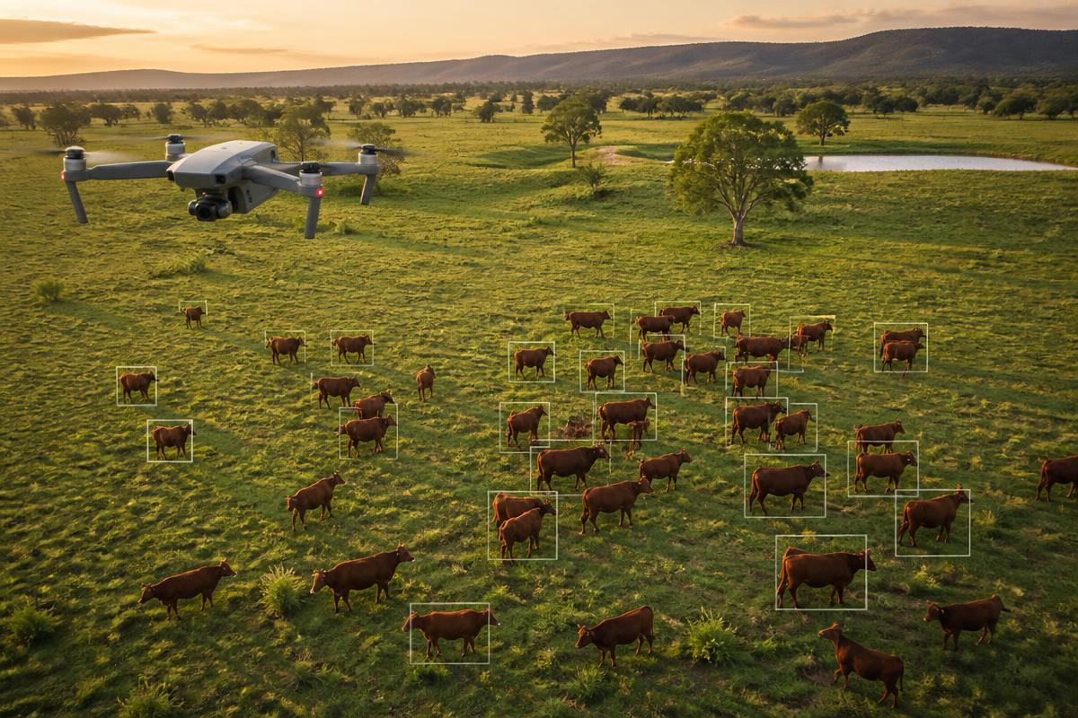
Drone flying over cattle with counting boxes
Count

Count cattle from the air

Flight plans a grid over the paddock, captures the herd from above, and counts heads. The result is a timestamped tally with GPS locations, so you know where stock are without riding the boundary.

Headcount with location tags
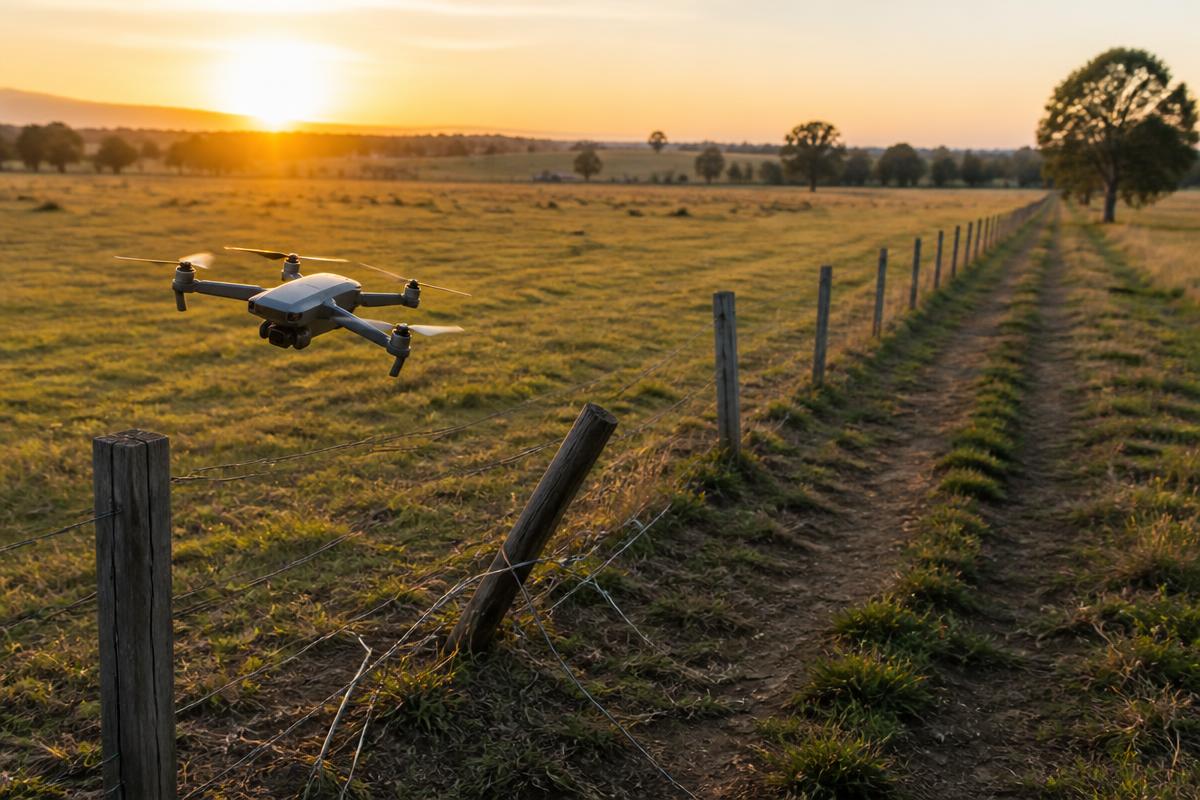
Drone flying along a fence line
Inspect

Find broken fences before stock do

Fly fence lines at low altitude. The companion app stitches the run and flags posts that are leaning, wire that is down, or gates left open.

Fence condition report with map pins
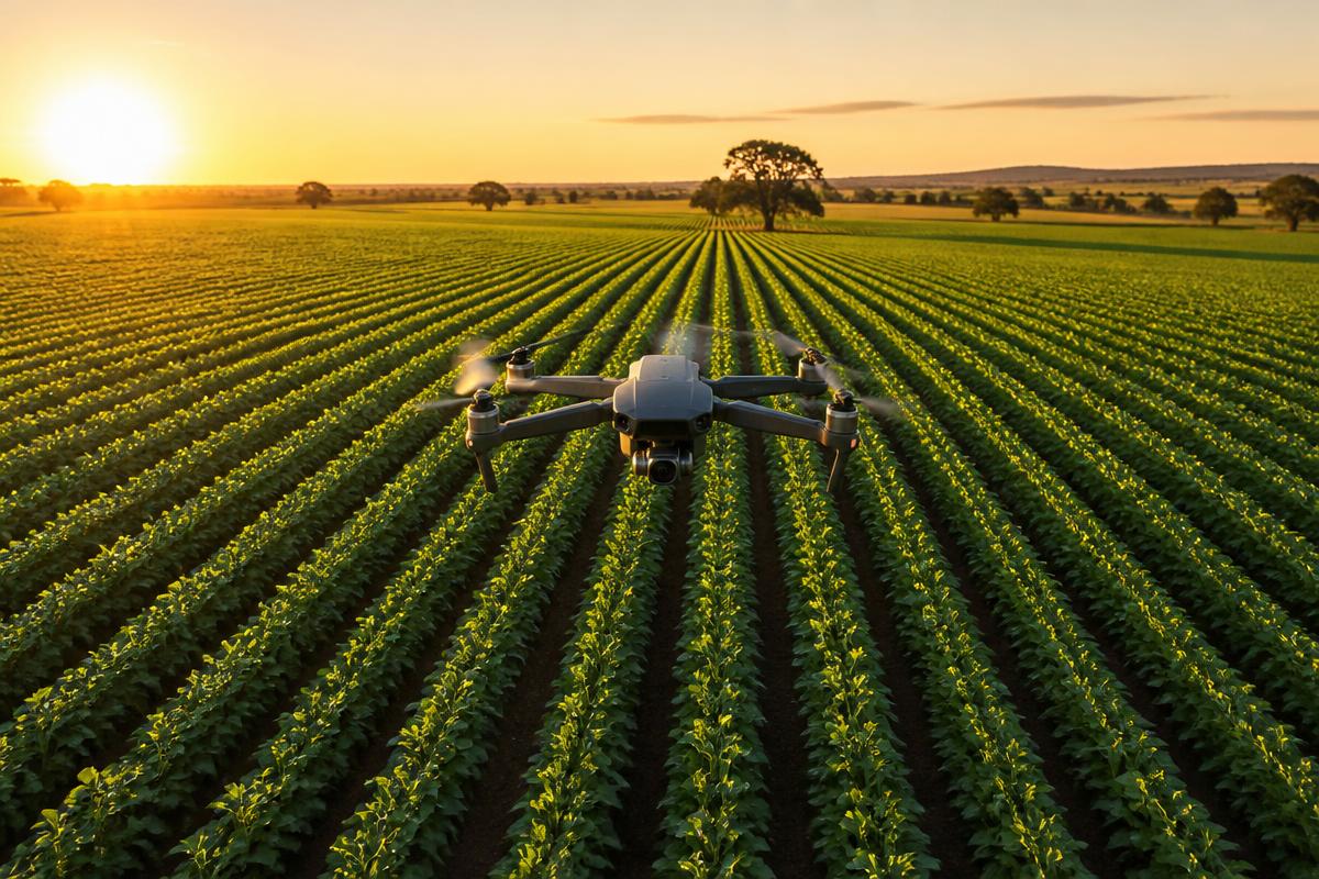
Drone flying over crop rows
Monitor

Check crop health row by row

Fly transects over broadacre fields to spot stress, irrigation gaps, or growth variation before it shows from the road. Imagery is tagged to the paddock and synced back to the Commander.

Paddock health map per run